Outbreak
· 28/04/2026
H5N1 Cluster Investigation — Sarpang
Joint rapid response team deployed to investigate avian influenza cluster across three gewogs. 47 samples collected; containment measures active.
Real Bhutan administrative boundaries · 205 Gewogs · 6 layers · live outbreak markers.
Recent developments across human, animal and environmental sectors.
Joint rapid response team deployed to investigate avian influenza cluster across three gewogs. 47 samples collected; containment measures active.
Q1 2026 data shows significant decline in canine rabies cases following targeted vaccination drives in Chukha, Samtse and Sarpang.
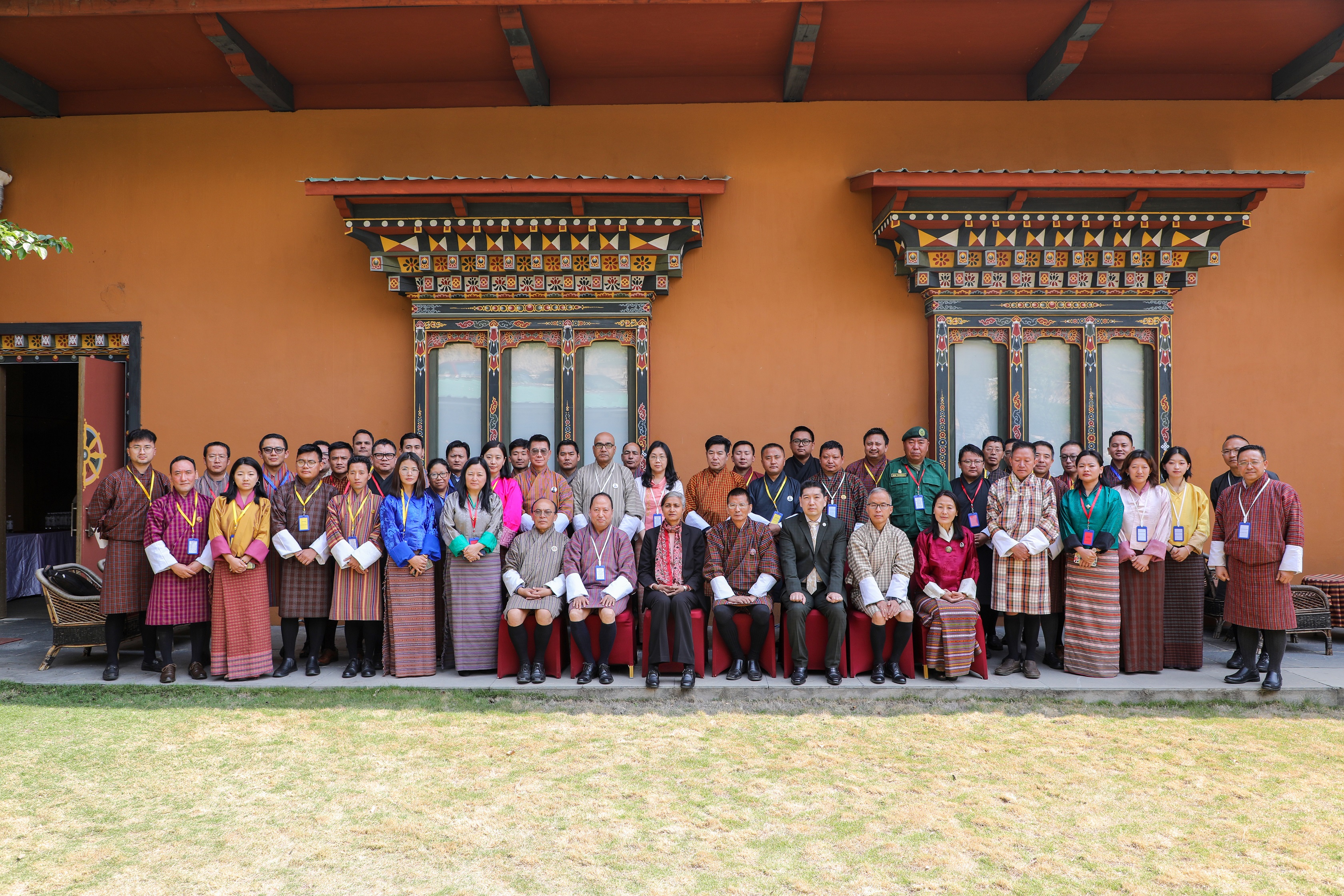
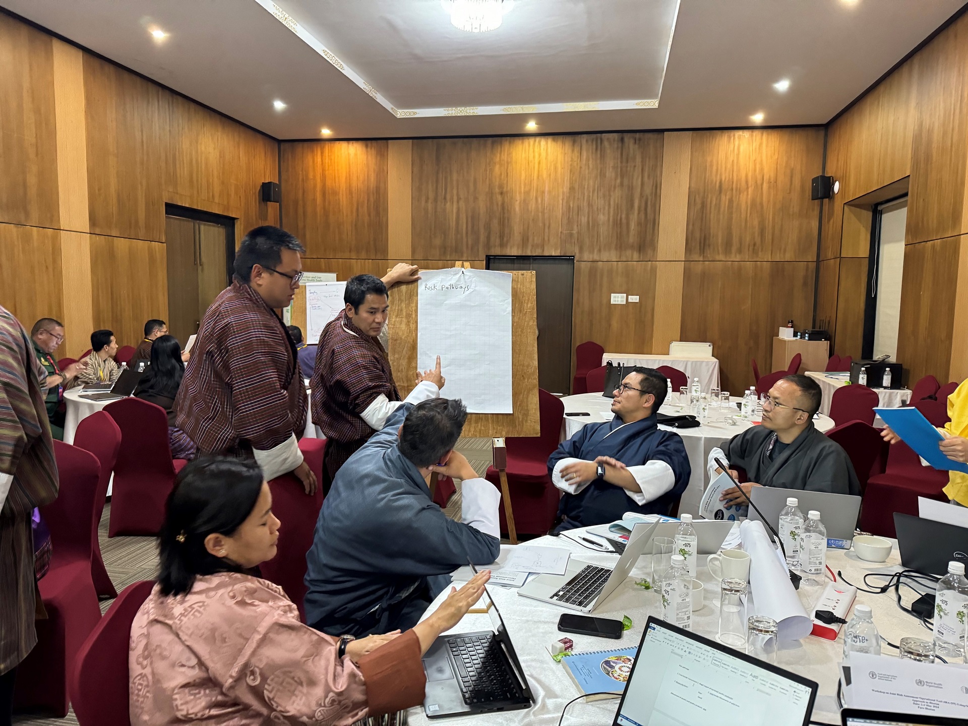
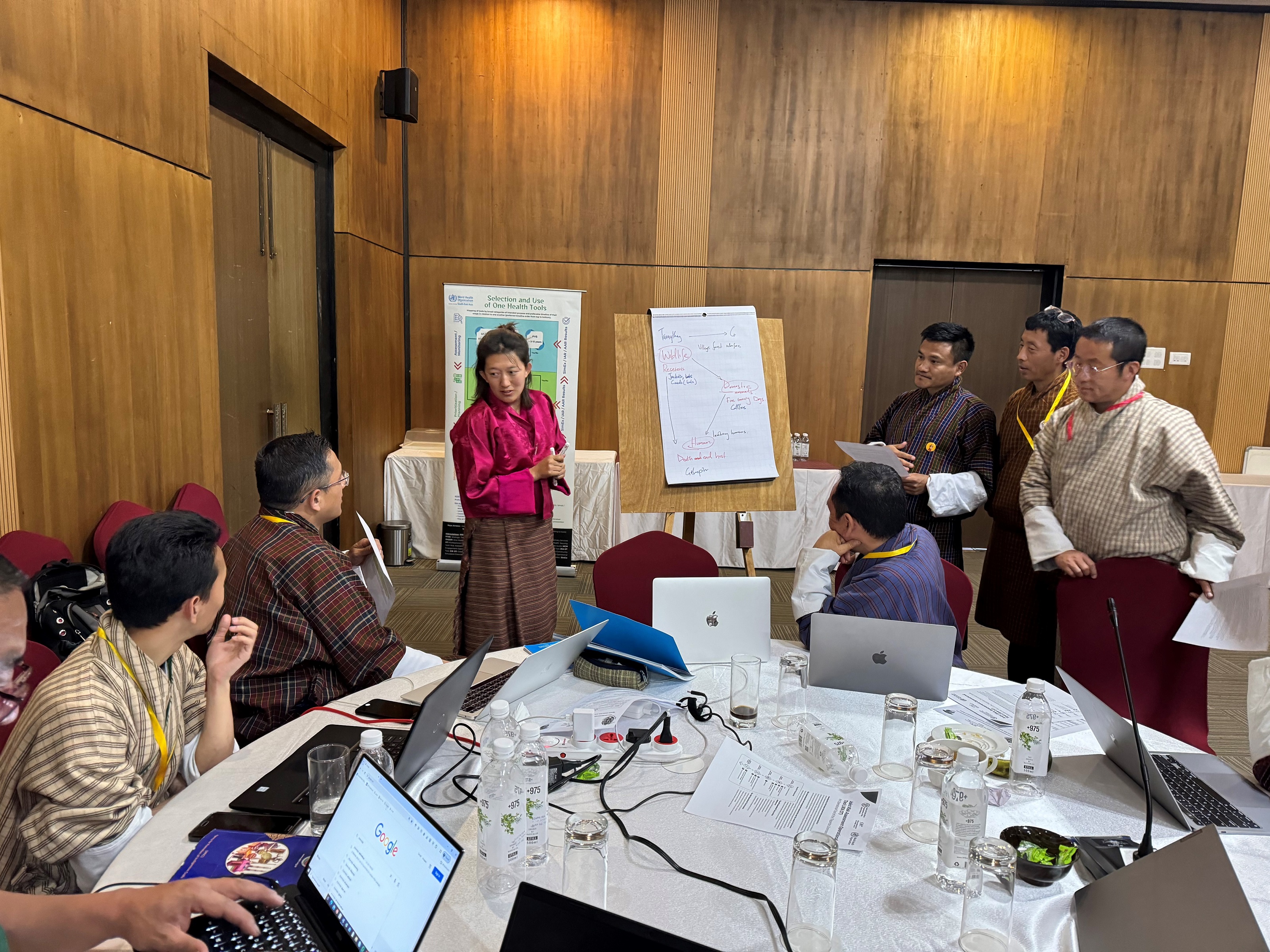
Cross-sectoral teams from health, livestock and forestry trained on integrated outbreak detection, sample handling and joint risk assessment protocols.

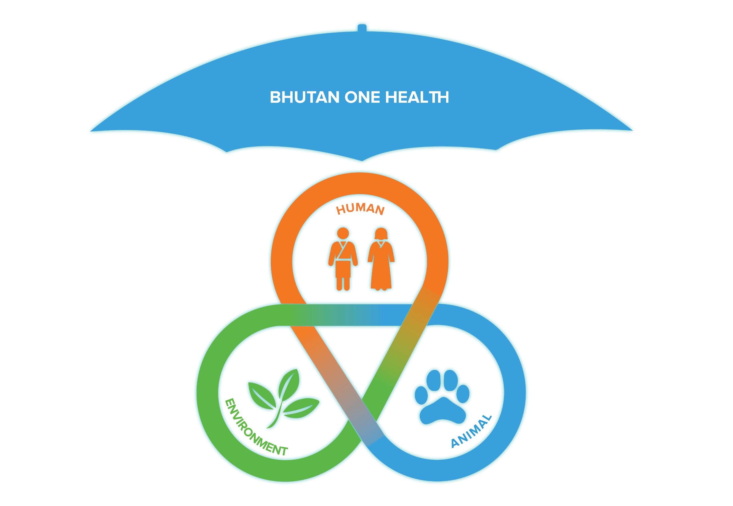
One Health is an integrated approach that recognises the deep interconnection between human health, animal health and the natural environment.
Built on the WHO–FAO–WOAH Tripartite Zoonoses Guide, the portal brings together RCDC, the Department of Public Health, the National Center for Animal Health, and partners across government and civil society — into one shared platform.
Read more about the project →