National Surveillance Map
Real Bhutan administrative boundaries · 205 Gewogs · 20 Dzongkhags · 6 indicator layers · 120 outbreak events. Switch layers and disease filters to see how immunization, environmental conditions and outbreak hotspots vary across the country.
Boundaries: geoBoundaries (OCHA ROAP) · CC BY 3.0 IGO · Mock data for prototype
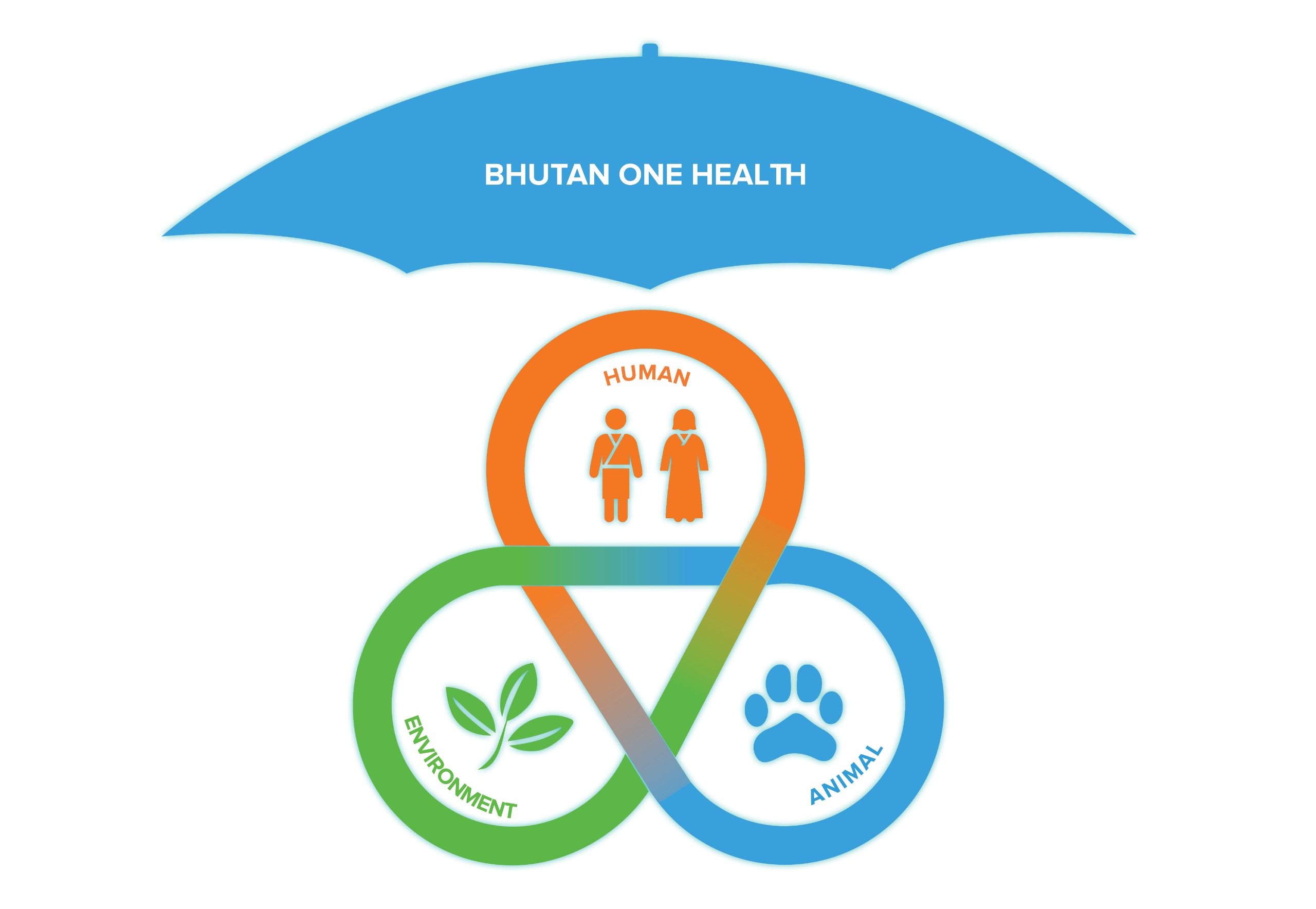
Human
Animal
Env.